
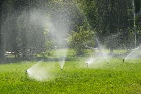
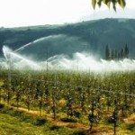
Water Management – Irrigation System
Irrigation system based on map/water source location and water availability/geological data etc. (see technical description)
Drawings:
-schedule PDF (harmonogram) of irrigation, adjusted to the type of plants, ground water surface level etc.
-plan view PDF of the irrigation system with drenchers and their range, some technical details, source of water all that on hypsometric map
-hypsometric map as base of the design
-irrigation system profile PDF (longest route with the highest elevation) consists as follow:
*comparative level (AMSL)
*ground elevation (AMSL)
*pipeline axis elevation (AMSL)
*pressure elevation (H2O head in AMSL)
*depth of the pipeline (depending of the depth of soil freezing)
*distances
*pipeline size (Dia)/hektometers
Please e-mail me if you are interested in PDF or CAD copy with technical description on which the drawings are based.